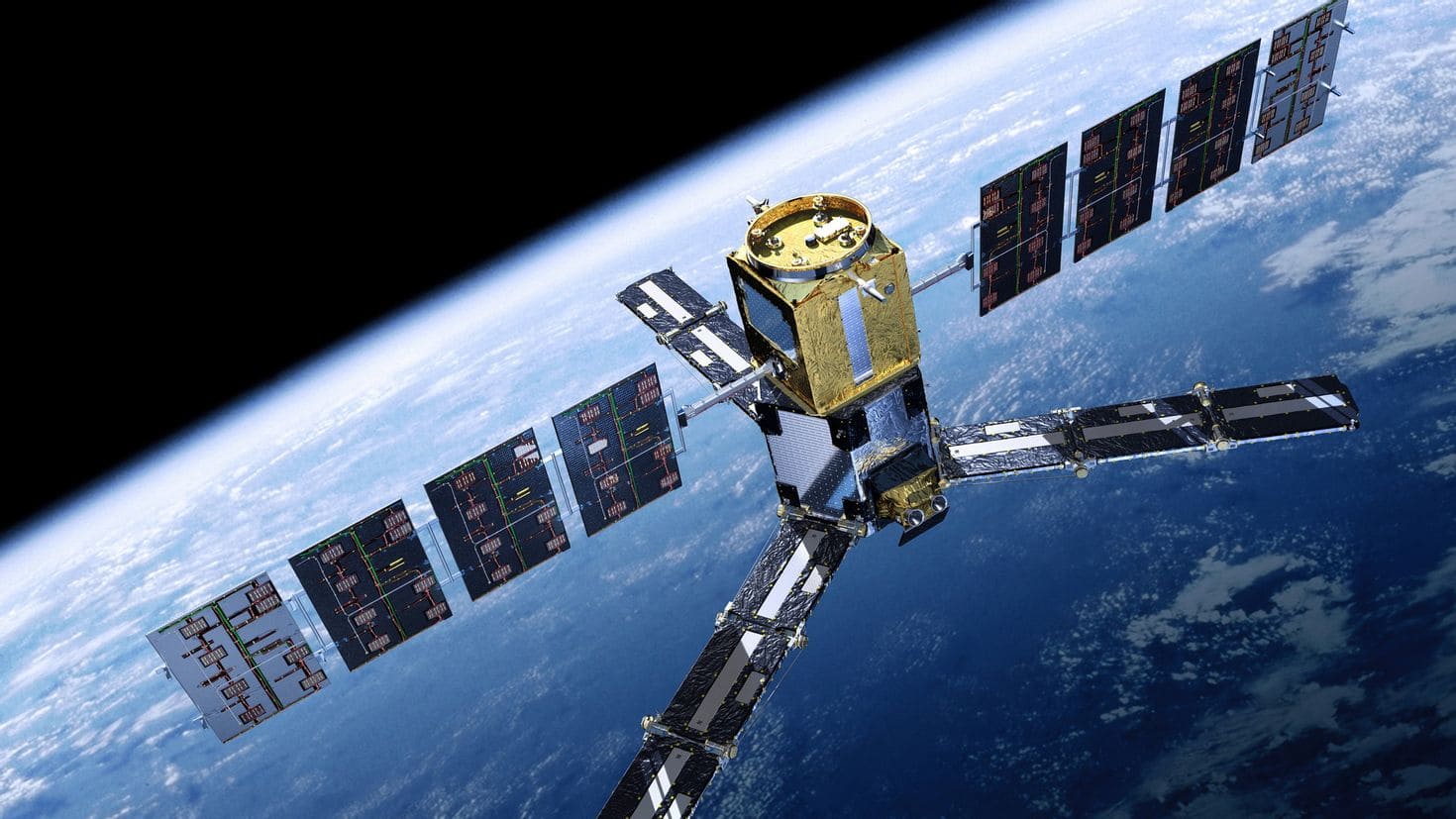
Satellites play a crucial role in disaster management and relief in Africa by providing timely, accurate, and comprehensive data that can enhance preparedness, response, and recovery efforts. Here are the key ways satellites aid in this process:
1. Early warning systems
- Weather monitoring: satellites monitor weather patterns, helping predict extreme weather events like cyclones, floods, and droughts. This enables early warnings and timely evacuations.
- Earthquake detection: satellites can detect ground movements that may indicate an impending earthquake, providing crucial time to implement safety measures.
2. Real-time monitoring and assessment
- Disaster mapping: high-resolution satellite imagery provides detailed maps of affected areas, showing the extent of damage to infrastructure, vegetation, and settlements.
- Flood monitoring: satellites track water levels in rivers and lakes, offering real-time data on flood situations and helping to manage water resources more effectively.
3. Search and rescue operations
- Locating survivors: satellites equipped with thermal imaging can locate survivors in disaster-stricken areas, even in remote or inaccessible regions.
- Communication support: in the aftermath of a disaster, satellites can provide emergency communication networks, enabling coordination among rescue teams and relief workers when ground-based communication infrastructure is damaged.
4. Resource management
- Agricultural monitoring: satellites monitor crop health and soil conditions, assisting in managing food resources during and after disasters like droughts.
- Water resource management: Satellite data helps manage water resources efficiently, crucial in regions prone to drought and water scarcity.
5. Environmental impact assessment
- Deforestation and land degradation: satellites track deforestation and land degradation, providing data that can help mitigate the impact of natural disasters by promoting sustainable land management practices.
- Pollution monitoring: satellites monitor air and water quality, important for assessing environmental health after industrial accidents or natural disasters.
6. Humanitarian aid coordination
- Logistics and supply chain management: satellite data assists in planning and managing the logistics of delivering aid, ensuring that resources reach the most affected and remote areas promptly.
- Population displacement tracking: satellites monitor movements of displaced populations, helping to manage refugee camps and plan for necessary services and infrastructure.
7. Climate change adaptation
- Long-term data collection: satellites provide long-term climate data, essential for understanding climate change impacts and developing adaptation strategies.
- Sea level monitoring: satellite altimetry measures sea level changes, critical for coastal planning and disaster risk reduction in vulnerable coastal communities.
Examples of satellite programs in Africa
- SERVIR: a joint initiative by NASA and USAID, providing satellite-based Earth observation data to help African countries manage climate risks and land use.
- African Resource Management Constellation (ARMC): a collaborative satellite initiative by several African countries to monitor natural resources and support disaster management efforts.
Satellites are indispensable tools in disaster management and relief in Africa. By offering real-time data, enhancing early warning systems, supporting search and rescue operations, and aiding in resource management, satellites significantly improve the efficiency and effectiveness of disaster response and recovery efforts. This technological support is vital in mitigating the impact of natural disasters and ensuring the safety and well-being of affected populations.


