African space technologies play a crucial role in enhancing disaster management across the continent. Leveraging satellite technology, remote sensing, and geospatial information systems (GIS), African nations are better equipped to predict, monitor, and respond to various natural and man-made disasters. Here’s a detailed look at how these technologies contribute:
1. Early warning systems
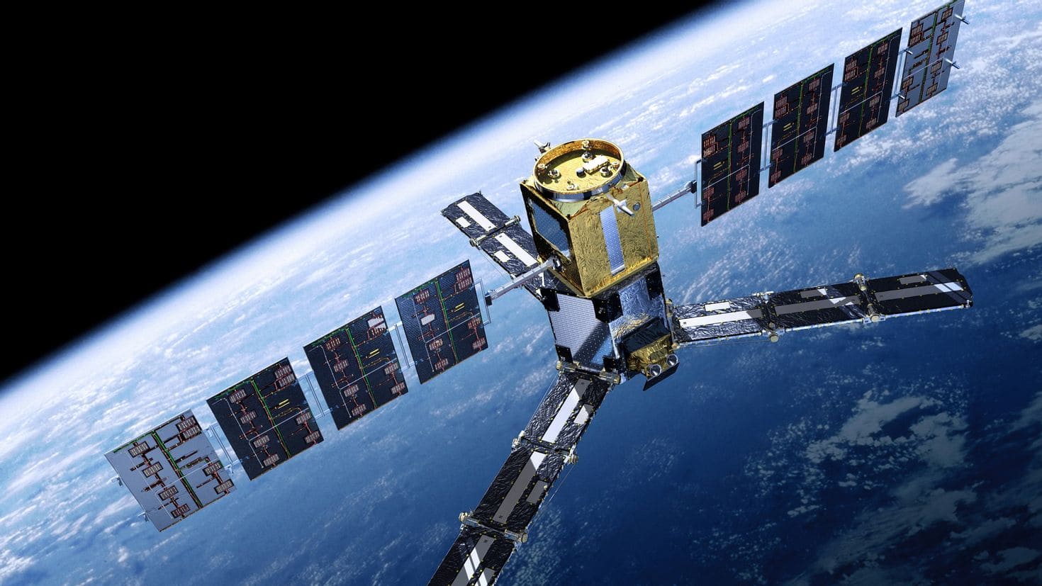
Satellites and remote sensing: satellites provide critical data that helps in forecasting natural disasters such as hurricanes, floods, and droughts. For instance, the African Risk Capacity (ARC), a specialized agency of the African Union, uses satellite data to monitor weather patterns and predict droughts. This allows governments to prepare and respond proactively, minimizing the impact on communities.
Meteorological satellites: these satellites provide real-time weather data, which is essential for early warning systems. Countries like South Africa and Nigeria have invested in meteorological satellites that help predict severe weather conditions, allowing for timely evacuation and resource mobilization.
2. Disaster monitoring and assessment
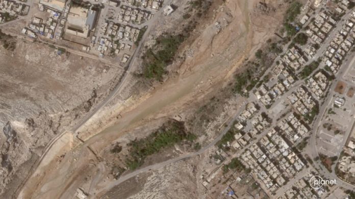
Earth observation satellites: these satellites provide detailed imagery and data that help in assessing the extent of damage caused by disasters such as floods, earthquakes, and landslides. For example, the South African National Space Agency (SANSA) uses Earth observation data to monitor and assess disaster impacts, which aids in effective response and recovery planning.
Drones and UAVs: Unmanned Aerial Vehicles (UAVs) are increasingly used for real-time monitoring of disaster-affected areas. They provide high-resolution images and videos that help in assessing damage, planning rescue operations, and delivering aid to inaccessible regions.
3. Resource management and distribution
GIS and spatial data: Geographic Information Systems (GIS) are crucial in disaster management for mapping disaster-prone areas, planning evacuation routes, and managing resources. Spatial data helps in identifying vulnerable populations and allocating resources efficiently during emergencies.
Telecommunications satellites: these satellites ensure communication lines remain open during disasters. In regions where terrestrial networks are disrupted, satellite communication becomes vital for coordinating rescue and relief operations.
4. Climate change adaptation
Environmental monitoring: satellites monitor environmental changes and provide data on climate variables. This information is crucial for developing strategies to adapt to climate change, which is increasingly linked to the frequency and intensity of natural disasters in Africa.
Agricultural monitoring: space technologies help in monitoring agricultural conditions, predicting crop failures, and managing food security. This is particularly important in regions prone to drought and other climate-related disasters.
5. Capacity building and international collaboration
Training and education: African countries are investing in education and training programs to build local expertise in space technologies. Partnerships with international space agencies and organizations help in transferring knowledge and technology, enhancing the continent’s disaster management capabilities.
Regional cooperation: initiatives like the African Space Policy and Strategy encourage regional cooperation in space activities. Collaborative efforts ensure that resources are pooled together, and best practices are shared, leading to more effective disaster management.
Examples of space technology applications in Africa
- Desert locust monitoring: the Desert Locust Information Service (DLIS) uses satellite imagery to monitor and predict locust movements, helping countries like Kenya and Ethiopia to prepare and mitigate the impact of locust swarms.
- Flood management in West Africa: the Niger Basin Authority uses satellite data to monitor river levels and predict floods, providing timely warnings to communities along the Niger River.
- Drought monitoring in the Horn of Africa: satellite-based drought monitoring systems help countries like Somalia and Ethiopia to anticipate drought conditions and implement measures to protect livestock and crops.
In conclusion, African space technologies significantly enhance disaster management by providing crucial data and tools for early warning, monitoring, resource management, and adaptation. Continued investment and collaboration in space technology will further strengthen the continent’s resilience to disasters.


